Argyll, Scotland
Argyll Coastal Route
134 miles, point to pointOfficial route
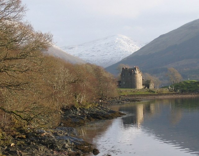
Photo: Dunderave Castle by Brian D Osborne, CC BY-SA 2.097 routes across the UK, Ireland, Europe and Morocco. Search a place, a pass or a road number, see what is on the way, split it into days at your own pace and download the track.
Pick a route and a start date. The planner splits it into days at your pace and shows what each rider needs to sort before you go.
Hover a line to see its name. Click it to open the route.
134 miles, point to pointOfficial route
Photo: Dunderave Castle by Brian D Osborne, CC BY-SA 2.0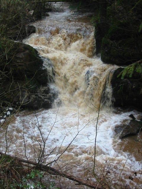
84 miles, point to pointOfficial route
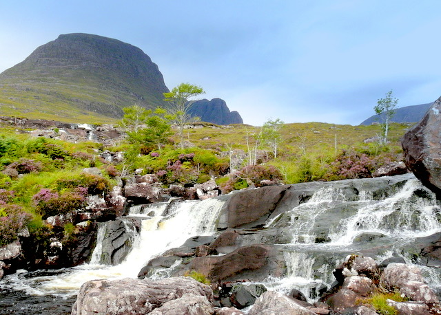
Photo: Fairy Loup by Howard Mattinson, CC BY-SA 2.0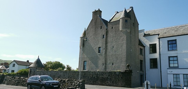
103 miles, point to pointOfficial route
Photo: Ballygally Castle by Z thomas, CC BY-SA 4.0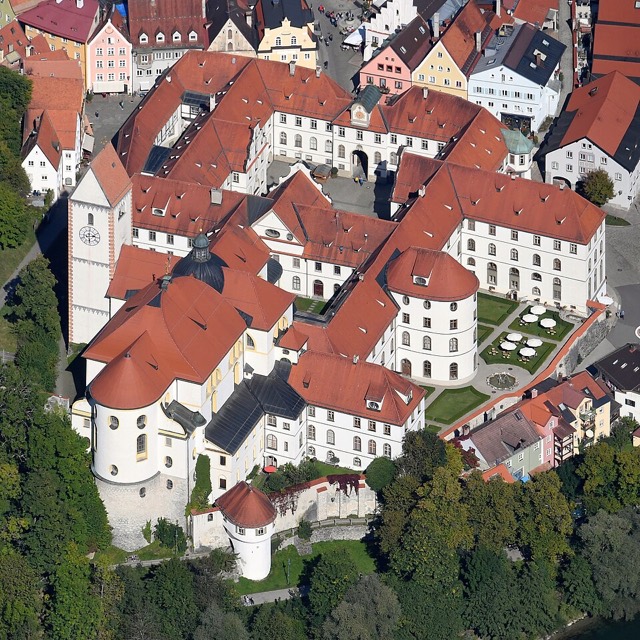
276 miles, point to pointOfficial route
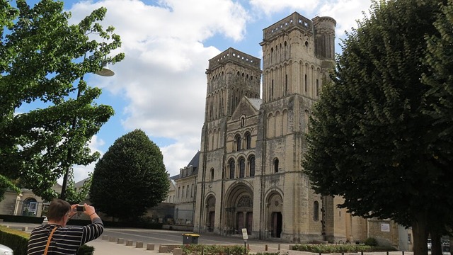
Photo: St. Mang's Abbey by Carsten Steger, CC BY-SA 4.0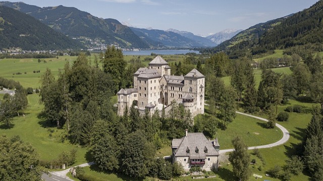
54 miles, point to pointOfficial route
Photo: Schloss Fischhorn by Arne Müseler, CC BY-SA 3.0 de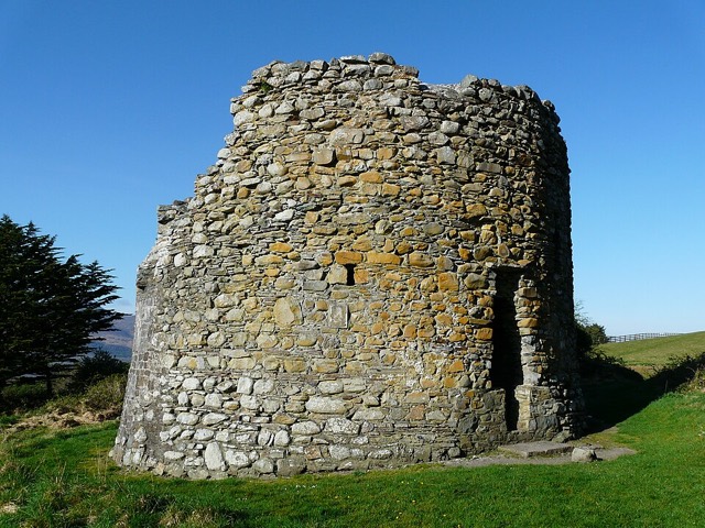
107 miles, loopOfficial route
Photo: Parkavonear Castle by Bkwillwm, CC BY-SA 3.0Download it for your satnav or phone. No account, no email, no paywall.
Pick the miles you like to ride in a day and get a GPX file for each day, ending at a named place.
Castles, passes, viewpoints and gorges near the line, with credited photos of the real place.
Each page says whether the line is an official route or one we plotted, and we say when we have not ridden it.
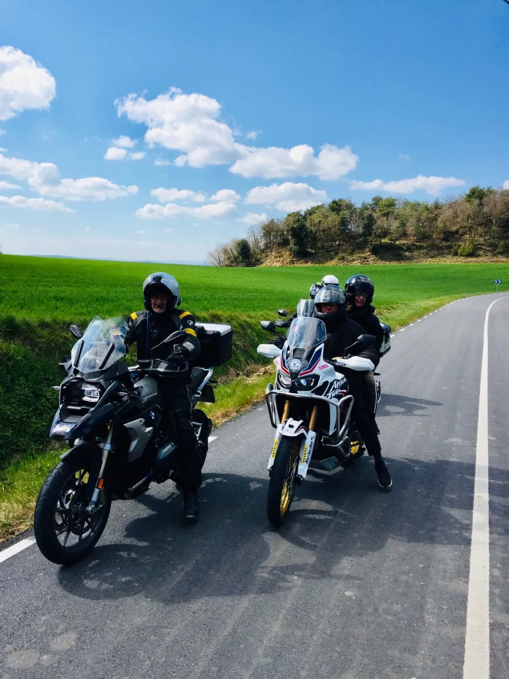
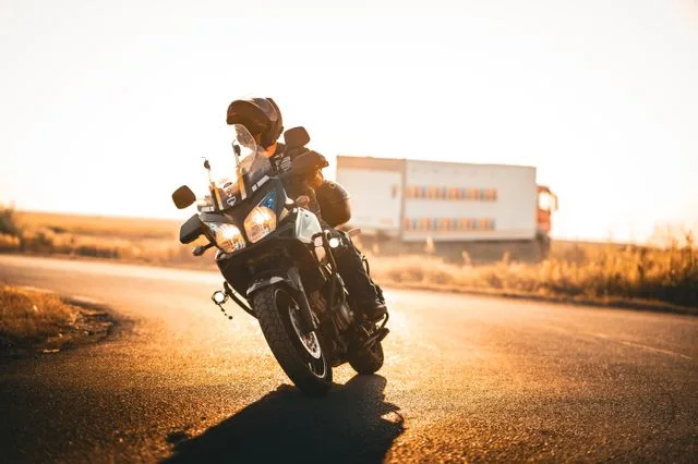
Pick a route, choose the miles you like to ride in a day, and take a GPX file for each day. Ride it alone or share the files with the group.
Browse the routesLoops that begin where the boat or train from the UK lands, so you can ride straight off and back on.
Free, no sign-up, and nothing you enter leaves your browser.
Where a road has an official tourist route, such as the North Coast 500, the Snow Roads or the Transfăgărășan, we use the official line as mapped by OpenStreetMap contributors and say so on the route page. Everything else we plot ourselves on OpenStreetMap roads, and where an official line exists we show how closely ours follows it. We do not copy other sites' GPX files.
We have not ridden every route ourselves yet, and each page says which kind it is. Places to see along the way come from Wikidata, with photos from Wikimedia Commons credited to the people who took them.
Roads close, surfaces change and passes shut for snow. Check your route before you set off, and tell us if you find a mistake.


