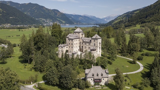
Grossglockner High Alpine Road
Austria's toll road over the Hochtor at 2,504 m, from Bruck in the Salzach valley to Heiligenblut, then down to Lienz.
- Distance
- 54 miles (86 km)
- Type
- Point to point
- Where
- Hohe Tauern
100% on the official route
Click a dot for details. White dots are the stops, each with a bed search. Yellow dots are places to see.
Main roads
L271B107B107aB100
From the map
- Longest gap between fuel
- 27 miles
- Fuel stations near the line
- 16
- Curvature
- 275 ° a mile
- Campsites within 2 km
- 9
- The longest stretch with no fuel station within 1 km of the line runs from mile 4 to mile 32. Check it against your range with the fuel range calculator.
- The twistiest 20 miles run from mile 8 to mile 28, at 475 degrees of turning a mile.
- Passes: Fuscher Törl (2,428 m, mile 17), Hochtor (2,504 m, mile 21), Iselsberg (1,209 m, mile 46).
- Countries: Austria.
- One motorcycle shop is within 3 km of the line.
Measured on the route line from OpenStreetMap data, which can be missing or out of date. Curvature is degrees of turning a mile, measured every 100 metres. On our routes they run from 6 on the E19 to 701 on the SP638.
Before you go
- A toll road. It is normally open from early May to late October, and it closes overnight.
- Austrian motorways need a vignette, but you can reach Bruck without one.
On the way
- Bruck
- Fusch
- Fuscher Torl
- Hochtor
- Heiligenblut
- Lienz
Ready to ride it?
Plan it with dates in the tour plannerBook this trip
1Getting there
Most riders cross to Calais by Le Shuttle or a Dover ferry, or take a longer ferry nearer the route.
Compare every crossing2Places to stay
- Find a bed in BruckWhere the route starts
- Find a bed in LienzWhere the route ends
3Cover
Check your bike insurance covers riding abroad, get travel insurance that covers motorcycling at your engine size, and breakdown cover that recovers a motorcycle in every country on the route.
What to check before you buy coverThe country on this route
What GOV.UK says riders need for it, checked 05/11/2026. Rules change, so read the official page before you go.
Austria
- Money
- Euro
- Ride on the
- Right
- Austrian motorway vignette, if you will use any motorway or expressway (official site)
- GOV.UK travel adviceSafety, road travel and local laws
- Entry requirementsPassport and visa rules
- Riding in AustriaOur routes, passes and fuel gaps there
On every trip abroad: your licence, insurance that covers riding abroad, the V5C and travel insurance with medical cover. The tour planner turns all of this into a checklist each rider in your group can tick off.
Places to see on the way
Castles, passes, viewpoints and more within easy reach of the line, in the order you reach them. Yellow dots on the map.

Waterfall · On the route
Schleierfall
Waterfall in the Glockner Group in Salzburg.
Pass · On the route
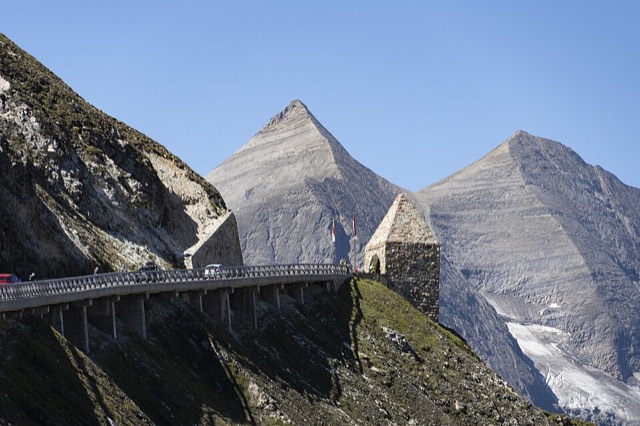
Fuscher Törl
Mountain pass in the Glockner Group in Salzburg.
Photo: StVeit Maps, CC BY-SA 4.0
Pass · On the route
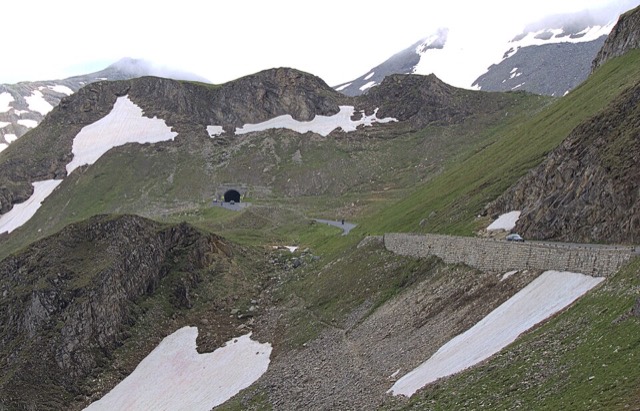
Hochtor
Mountain pass in the Glockner Group at the border Carinthia / Salzburg.
Photo: Michael aus Halle, CC BY-SA 3.0
Waterfall · 0.4 km off the route
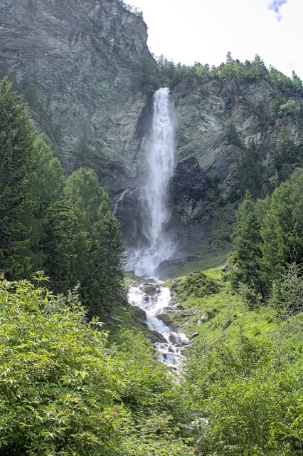
Jungfernsprung
Wasserfall des Zopenitzenbachs im oberen Mölltal bei Aichhorn.
Photo: Alexander-93, CC BY-SA 4.0

Pass · On the route
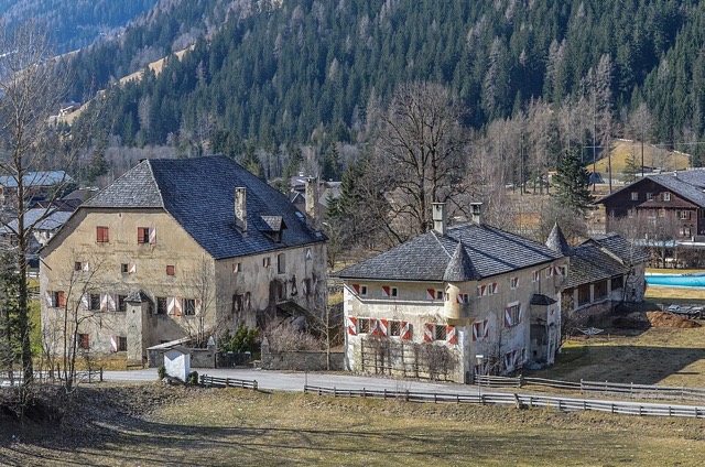
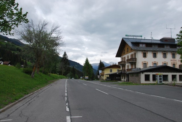
Iselsberg Pass
Mountain pass.
Read about it on Wikipedia Photo: Ulflulfl, CC BY-SA 3.0
Museum · 0.6 km off the route
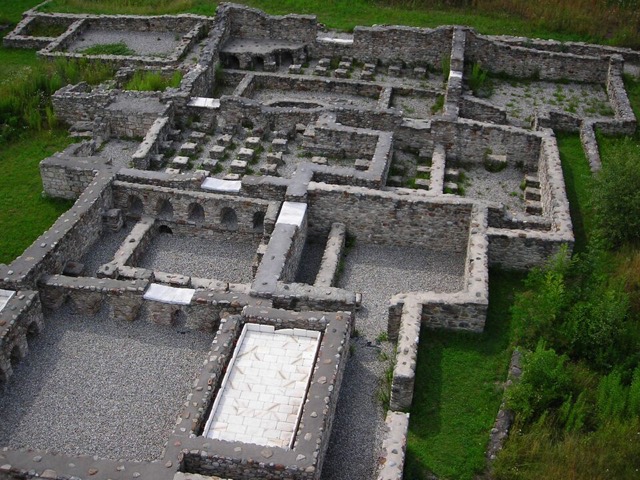
Aguntum
Former Roman municipality in East Tyrol.
Read about it on Wikipedia Photo: Simfunkel, CC BY-SA 3.0
Monastery · 0.3 km off the route
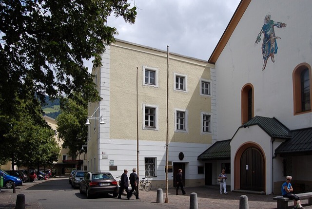
Lienz Friary
Building in East Tyrol, Austria.
Read about it on Wikipedia Photo: Michael Kranewitter, CC BY-SA 3.0
Place details from Wikidata. Photos from Wikimedia Commons, credited on each card.
More routes in Europe
See them allAdriatic coast road, Rijeka to Dubrovnik 366 miAlta to the North Cape 146 miAmalfi Coast road 36 miAuvergne volcanoes and the Puy Mary 186 miBlack Forest B500 127 miCalais to Lake Geneva for the Route des Grandes Alpes 575 miCalais to Roscoff along the Normandy and Brittany coast 562 miCalais to Santander through France 1,118 mi