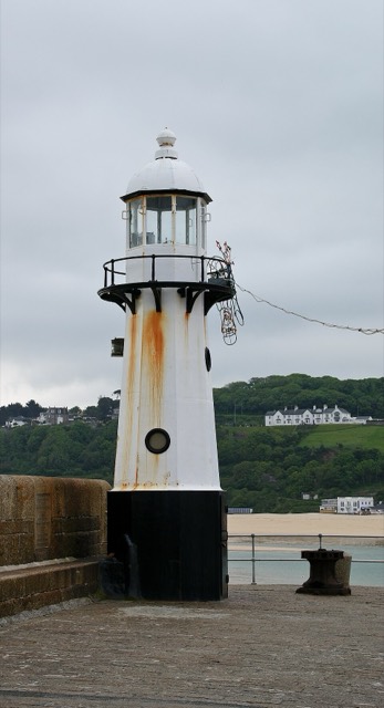
Lighthouse · 0.3 km off the route
St Ives Light
Lighthouse in Cornwall, England.
Photo: Herbythyme, CC BY-SA 4.0The B3306 coast road from St Ives round to Land's End, then across to Penzance and down to Lizard Point, the most southerly point in mainland Britain.
Plotted by us, not yet ridden
Click a dot for details. White dots are the stops, each with a bed search. Yellow dots are places to see.
Measured on the route line from OpenStreetMap data, which can be missing or out of date. Curvature is degrees of turning a mile, measured every 100 metres. On our routes they run from 6 on the E19 to 701 on the SP638.
Check your breakdown cover recovers a motorcycle, and from where. Some policies only cover you from home, or not at all on single track roads.
What to check before you buy coverCastles, passes, viewpoints and more within easy reach of the line, in the order you reach them. Yellow dots on the map.
Lighthouse in Cornwall, England.
Photo: Herbythyme, CC BY-SA 4.0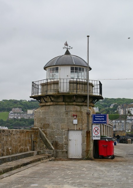
Lighthouse in in St Ives, Cornwall, England.
Photo: Herbythyme, CC BY-SA 4.0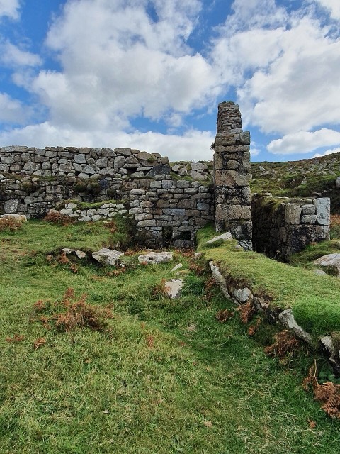
Castle in Zennor, Cornwall, England, UK.
Photo: Jowaninpensans, CC BY-SA 4.0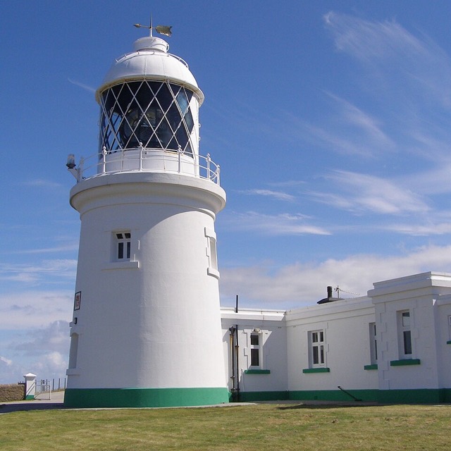
Lighthouse in Cornwall, England.
Read about it on Wikipedia Photo: Jim Champion, CC BY-SA 3.0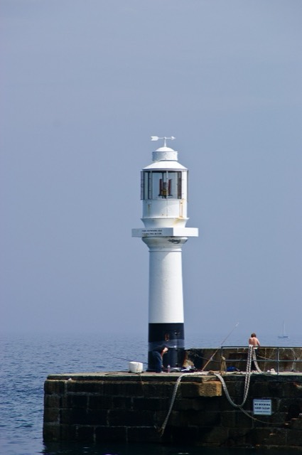
Lighthouse in Cornwall, England.
Photo: Herbythyme, CC BY-SA 4.0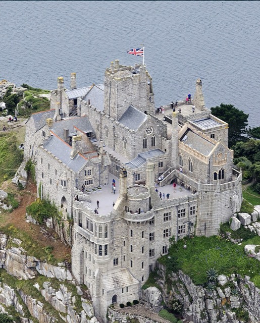
Castle in Cornwall, England, UK.
Photo: John Fielding from Norwich, UK, CC BY 2.0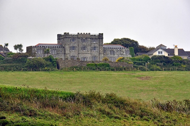
Cornish historic building.
Read about it on Wikipedia Photo: Nilfanion, CC BY-SA 4.0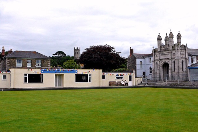
Castle in England.
Read about it on Wikipedia Photo: Tim Green from Bradford, CC BY 2.0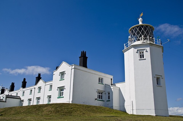
Lighthouse in Landewednack, Cornwall, England, UK.
Read about it on Wikipedia Photo: Sanil Photography, CC BY-SA 3.0Place details from Wikidata. Photos from Wikimedia Commons, credited on each card.


